Newsletter
Join the Community
Subscribe to our newsletter for the latest news and updates
EarthByte offers tools like GPlates for plate tectonics visualization, vital for geophysical research.

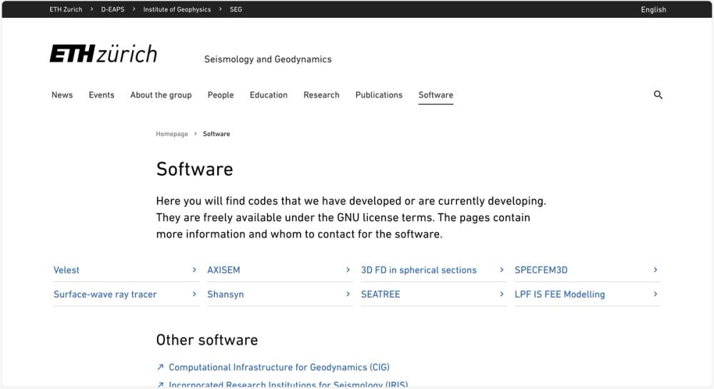
Freely available geophysical software under GNU license from ETH Zurich's Seismology and Geodynamics group.

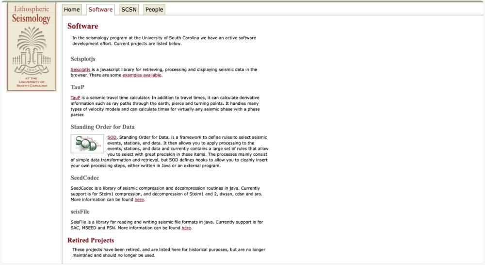
Software tools for seismic data analysis and visualization from USC Seismology program.

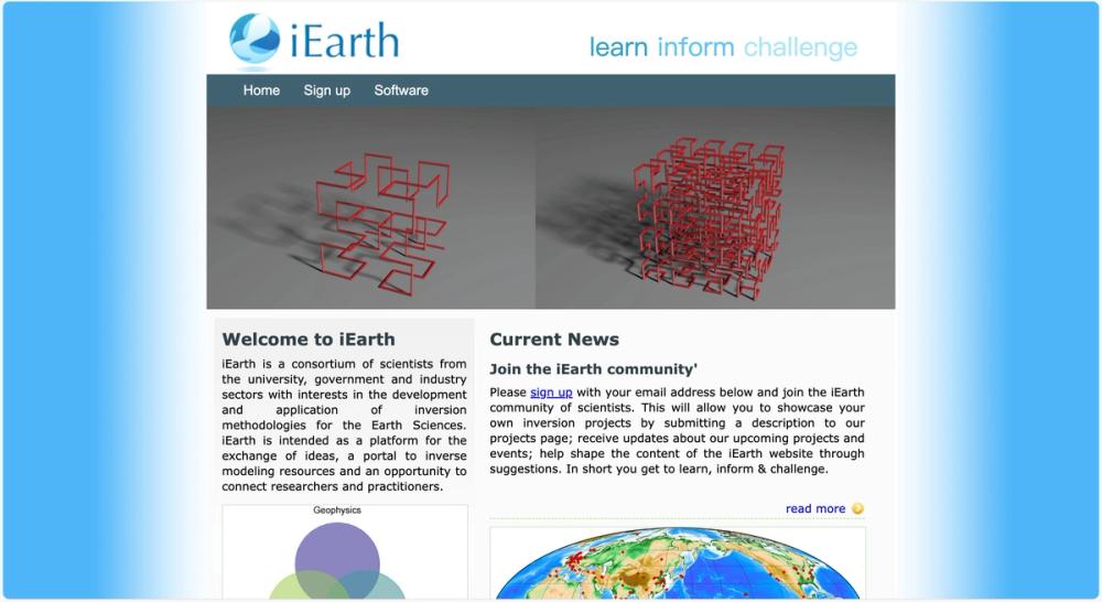
A platform for scientists to exchange ideas and access resources on inversion methodologies in Earth Sciences.
EarthByte, based at the University of Sydney, provides a suite of open-source software and workflows tailored for geophysical research, with a primary focus on plate tectonics and geodynamics. Key tools include GPlates, a desktop application for interactive visualization of plate-tectonic reconstructions, and related libraries such as pyGPlates for Python-based data analysis, GPlately for spatio-temporal data processing, and others like Underworld and Badlands for geodynamic modeling and landscape evolution simulations. Recent releases, such as GPlates 2.5 and pyGPlates 1.0, introduce features like subduction zone visualization and enhanced installation options via conda or pip.
These tools are instrumental in studying Earth's tectonic evolution, basin formation, and geodynamic processes. They enable researchers to simulate past plate configurations, analyze subduction zone dynamics, and predict landscape changes due to tectonic activity. Applications extend to mineral exploration, paleogeography, and understanding deep Earth processes through data-driven reconstructions.
EarthByte's software suite significantly enhances geophysical research by providing robust, user-friendly tools for data visualization and numerical modeling, fostering a deeper understanding of Earth's complex systems.