LogoGeophysicsHub
  • Category
  • Tag
  • Pricing
  • Contributing
  • Blog
  • About
  • Search
LogoGeophysicsHub

Tag

Explore by tags

LogoGeophysicsHub

This is a site for geophysics researchers, the best navigation website for geophysics learning

GitHubX (Twitter)
Buy me a coffeeLogoBolyn
Product
  • Search
  • Category
  • Tag
Resources
  • Blog
  • Pricing
  • Submit
Company
  • About Us
  • Privacy Policy
  • Terms of Service
  • Sitemap
Copyright © 2025 All Rights Reserved.
  • All

  • Simulation

  • Africa

  • AGU

  • AI

  • Algorithms

  • Ambient Noise

  • Applied Geophysics

  • Asia

  • Atmospheric

  • Atmospheric Dynamics

  • Atmospheric Sciences

  • Auroral Physics

  • Australia

  • Beginner Friendly

  • Big Data Analysis

  • Biogeochemical

  • Biogeochemistry

  • Biosensors

  • Blogs

  • Books

  • Borehole Logging

  • C / C Plus

  • Canada

  • Career

  • Chemistry

  • China

  • Chinese

  • Climate Dynamics

  • Climate Physics

  • Climatology

  • Computational Geosciences

  • Computational Mathematics

  • Computer Science

  • Containerization

  • Continent-Ocean Transition

  • Continental Margins

  • C/C++

  • Crustal Deformation

  • Data Analysis

  • Data Assimilation

  • Data-Driven Methods

  • Data Inversion

  • Deep Ocean Basins

  • Deep-Sea Sedimentation

  • Deployment

  • DevOps

  • Docker

  • Earth Radiation

  • Earth's Internal Structure

  • Earth Science

  • Earth System

  • Earth System Interactions

  • Earthquake Engineering

  • Education

  • Electrical

  • Electromagnetic

  • Electromagnetic Methods

  • Engineering Geophysics

  • English

  • Environmental Geophysics

  • Environmental Monitoring

  • Europe

  • Event Catalog

  • Exploration Geophysics

  • Fatiando a Terra

  • Focal Mechanism

  • Fortran

  • Forward Modeling

  • France

  • Full Waveform

  • Full Waveform Inversion

  • Geodetic Networks

  • Geodynamics

  • Geohazard Assessment

  • Geoinformatics

  • Geologic Time

  • Geomagnetic Field

  • Geomagnetism

  • Geophysical Computing

  • Geophysical Methods

  • Geophysical Services

  • Geoscientific Data

  • Geoscientific Modeling

  • Germany

  • GIS

  • GitHub

  • Global

  • GMT

  • Government

  • Gravimetry

  • Gravity

  • Gravity Fields

  • Gravity Prospecting

  • Groundwater Detection

  • High-Performance Computing

  • Hong Kong

  • Hydrogeophysical

  • IDE

  • India

  • Industry

  • Instrumentation

  • Interdisciplinary Research

  • Inversion

  • Ionosphere

  • Ionospheric Physics

  • Italy

  • Japan

  • Job

  • Journal

  • Linux

  • LSRTM

  • Machine Learning

  • Madagascar

  • Magnetic

  • Magnetic Prospecting

  • Magnetosphere

  • Make

  • Map

  • Maping

  • Marine Ecosystems

  • Marine Geology

  • Marine Gravity

  • Mathematical Modeling

  • MATLAB

  • Meeting

  • Microservices

  • Mid-Ocean Ridges

  • Migration

  • Mineral Exploration

  • Moment Tensor

  • Multidisciplinary

  • Networks

  • Nonprofit

  • Norway

  • Numerical Modeling

  • Numerical Simulation

  • ObsPy

  • Ocean Dynamics

  • Ocean Exploration

  • Oceanic Crust Structure

  • Oceanography

  • Oil & Gas

  • Online Course

  • Open Source

  • Paper Supplement

  • Physical Oceanography

  • Planetary Geophysics

  • Planetary Internal Structure

  • Planetary Magnetism

  • Plate Tectonics

  • Plotting

  • Podcasts

  • Positioning

  • Program Laguage

  • Publications

  • Python

  • Remote Sensing

  • Resistivity

  • Russia

  • SAC

  • Satellite Meteorology

  • Seafloor Heat Flow

  • Seafloor Seismology

  • Seafloor Topography

  • Sedimentary Ocean Processes

  • Seismic

  • Seismic Data

  • Seismic Exploration

  • Seismic Wave Propagation Modeling

  • Seismology

  • SeisSol

  • Semitechnical

  • Sensor Technology

  • Sensors

  • Shallow Seismics

  • Shell

  • Signal Processing

  • Singapore

  • Social Media

  • Solar Activity

  • Solar Wind

  • Solid Earth

  • Southeast Asia

  • Space Sciences

  • Spatial Analysis

  • SPECFEM

  • Statistical Analysis

  • Structure

  • Subsurface Flow

  • Switzerland

  • Taiwan

  • Tech Company

  • Technical

  • Temporal Analysis

  • Theoretical Modeling

  • Travel Time

  • United Kingdom

  • Uncertainty Analysis

  • Uncertainty Assessment

  • University

  • United States

  • Velocity Model

  • Virtualization

  • Visualization

  • Volcanic Physics

  • Waveform

  • Wireless Sensor Networks

image of USGS Earthquake Hazards Software
Software and ToolsSoftware centers
Visit Website

USGS Earthquake Hazards Software

Details

USGS software for earthquake research, offering tools for hazard analysis and seismic data processing.

SeismologyEarthquake EngineeringSeismic DataOpen SourceGitHub+2
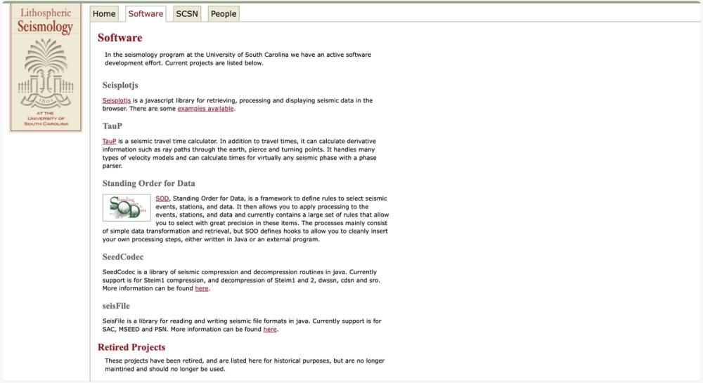
image of USC Seismology Software
Software and ToolsData ProcessingEarthquake AnalysisUnited StatesInstitutionSoftware centers
Visit Website

USC Seismology Software

Details

Software tools for seismic data analysis and visualization from USC Seismology program.
SeismologySeismic DataVisualizationTravel TimeData Analysis+5
image of Global Seismographic Network
Global OrganizationsAll DatabaseOther Database
Visit Website

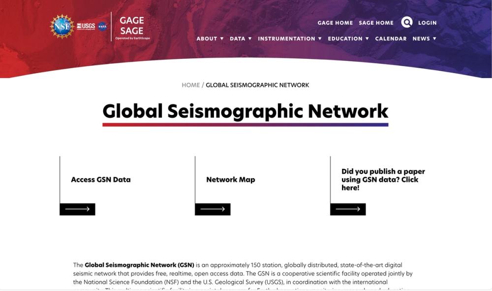
Global Seismographic Network

Details

A global seismic network of 150 stations providing real-time, open access data for Earth monitoring and research.
SeismologySeismic DataGlobalNetworksInstrumentation+2
image of ObsPy
Software and ToolsData Visualization
Visit Website

ObsPy

Details

A Python toolbox for seismology, facilitating data processing and analysis.
PythonSeismologySeismic DataData AnalysisSignal Processing+6
image of ISC-EHB Bulletin
All DatabaseEarthquake Catalogs
Visit Website

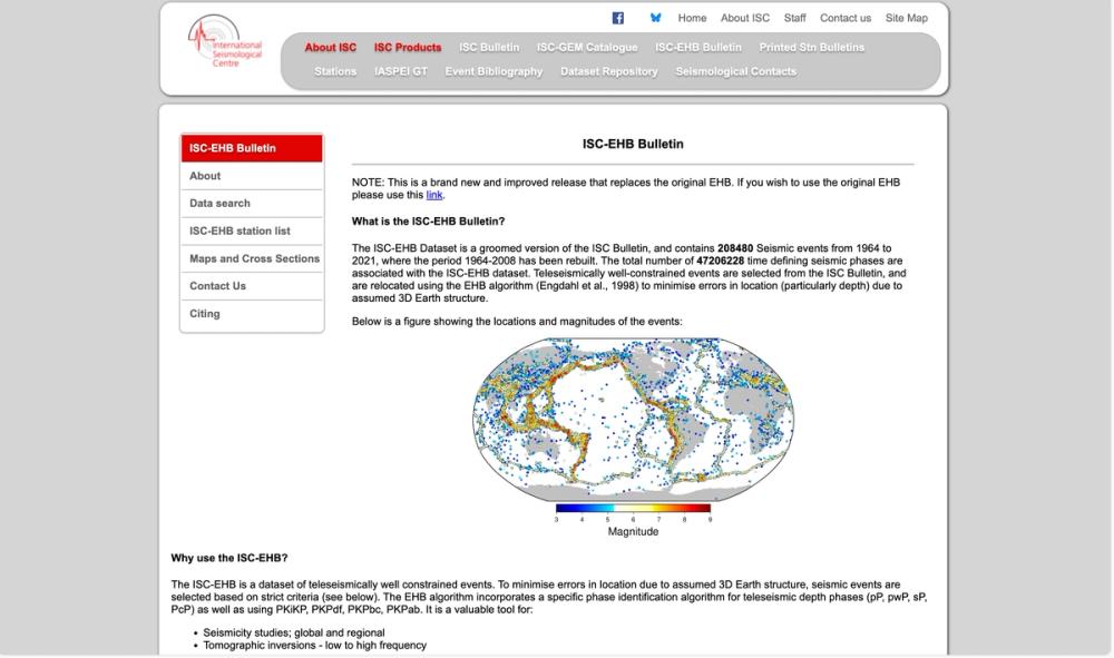
ISC-EHB Bulletin

Details

The ISC-EHB Dataset is a groomed version of the ISC Bulletin, and contains 208480 Seismic events from 1964 to 2021, where the period 1964-2008 has been rebuilt. The total number of 47206228 time defining seismic phases are associated with the ISC-EHB dataset.
Earth ScienceEarth SystemSolid EarthData AnalysisData Assimilation+1
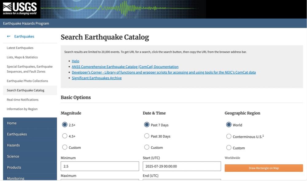
image of USGS Earthquake Catalog
Earthquake CatalogsAll Database
Visit Website

USGS Earthquake Catalog

Details

Search tool for accessing detailed earthquake data from the USGS catalog.
SeismologyEarthquake EngineeringEvent CatalogSeismic DataGlobal+4
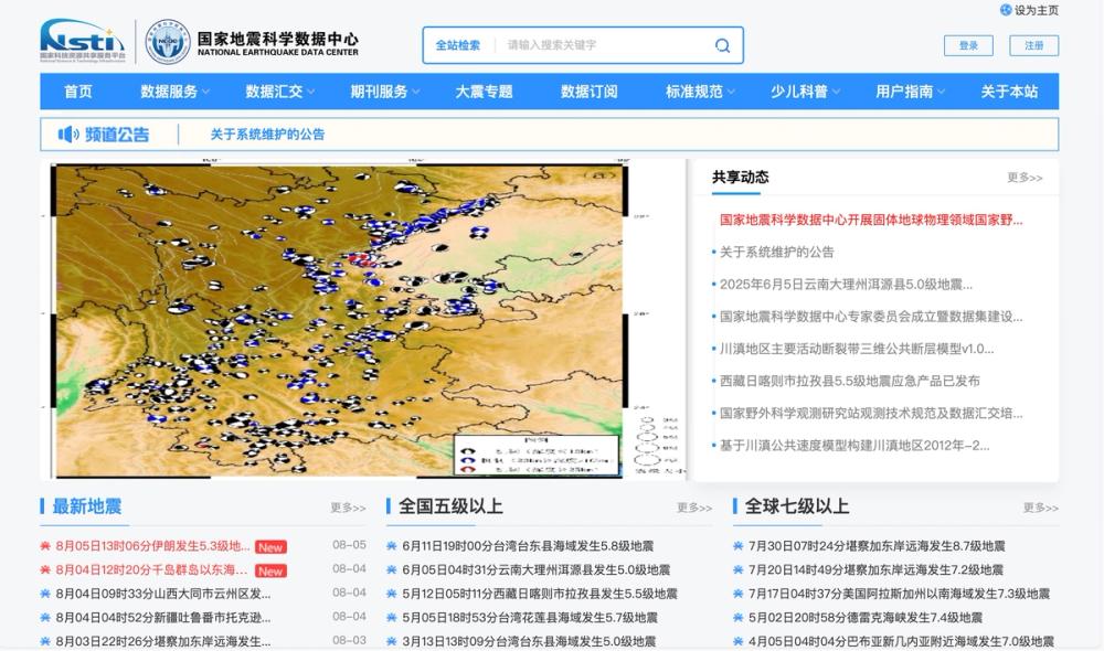
image of National Earthquake Science Data Center
Earthquake CatalogsAll Database
Visit Website

National Earthquake Science Data Center

Details

Central hub for China's earthquake science data and services.
Seismic DataEarth ScienceSeismologyChinaGeoscientific Data+4
image of Japan Meteorological Agency Hypocenters
Earthquake CatalogsAll Database
Visit Website

Japan Meteorological Agency Hypocenters

Details

Hypocenter data and bulletins from the Japan Meteorological Agency for seismic research.

Seismic DataEarthquake EngineeringSeismologyJapanEvent Catalog+2
image of Northern California Earthquake Catalog Search
Earthquake CatalogsAll Database
Visit Website

Northern California Earthquake Catalog Search

Details

Search tool for Northern California earthquake data hosted by UC Berkeley Seismology Lab.

Seismic DataEvent CatalogWaveformEarthquake EngineeringSeismology+3
image of Earthquakes@GA
All DatabaseEarthquake Catalogs
Visit Website

Earthquakes@GA

Details

Geoscience Australia monitors and reports on significant earthquakes in Australia and overseas.

AustraliaSeismologyEarthquake EngineeringSeismic DataGlobal
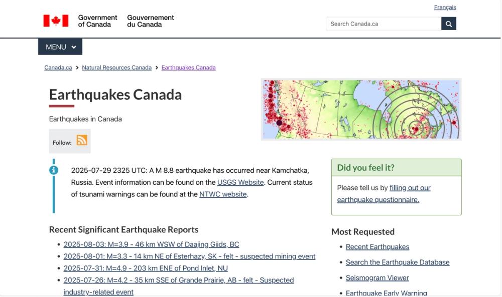
image of Earthquakes Canada
Earthquake CatalogsAll Database
Visit Website

Earthquakes Canada

Details

Official source for earthquake data and alerts in Canada by Natural Resources Canada.

CanadaSeismologyEarthquake EngineeringSeismic DataGeoscientific Data+2
image of EarthScope Automated Receiver Survey (EARS)
All DatabaseEarthquake CatalogsOther Database
Visit Website

EarthScope Automated Receiver Survey (EARS)

Details

A retired automated data product for calculating crustal properties from seismic data.

SeismologySeismic DataGeodynamicsInstrumentationEarth Science
  • Previous
  • 1
  • 2
  • 3
  • Next