Newsletter
Join the Community
Subscribe to our newsletter for the latest news and updates
GeoMapApp offers access to global geoscience datasets for visualization and analysis in geophysics.

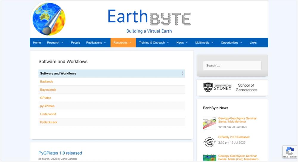
EarthByte offers tools like GPlates for plate tectonics visualization, vital for geophysical research.

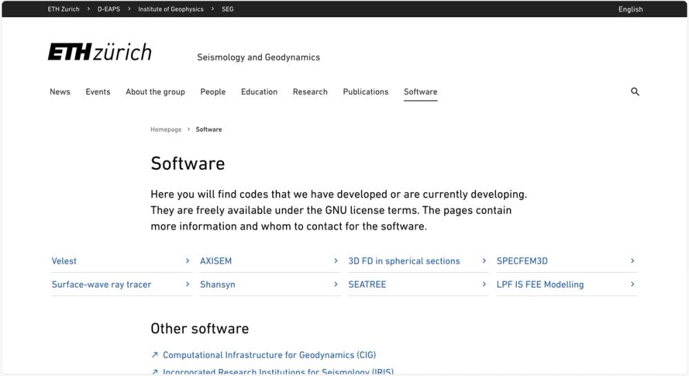
Freely available geophysical software under GNU license from ETH Zurich's Seismology and Geodynamics group.

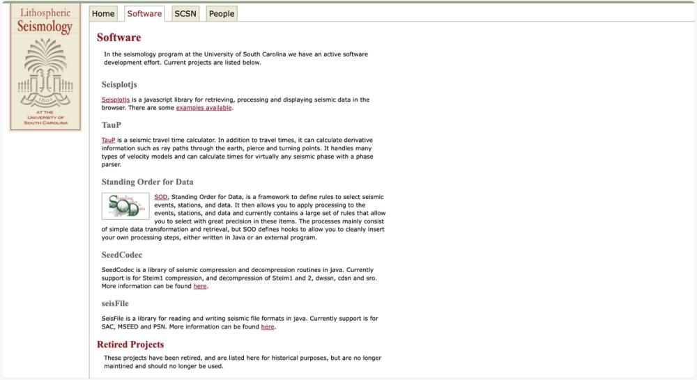
Software tools for seismic data analysis and visualization from USC Seismology program.
GeoMapApp is a powerful, free software tool developed by the Marine Geoscience Data System at Columbia University, designed for the exploration, visualization, and analysis of a vast array of global geoscience datasets. Key features include access to regularly updated datasets such as bathymetry, topography, geochemistry, earthquake data, and geophysical models (e.g., GMRT elevation base maps, USGS earthquake tables, and PetDB geochemistry portals). It supports a wide range of geophysical applications, from studying ocean floor topography and seismic activity to analyzing geomagnetic anomalies and sediment thickness.
This tool is particularly valuable for students, researchers, and geophysical engineers who require interactive access to multidisciplinary geoscience data. Typical use cases include academic research on tectonic processes, classroom education in earth sciences, marine geophysical exploration, and data integration for environmental studies. GeoMapApp solves critical problems in geophysics by providing a user-friendly platform to overlay and analyze diverse datasets, facilitating insights into earth system interactions and supporting data-driven research workflows.
Whether mapping mid-ocean ridges, studying earthquake focal mechanisms, or exploring continental margins, GeoMapApp enhances geophysical research and learning by bridging data access with visualization, making complex datasets accessible to a broad user base.