PyGMT
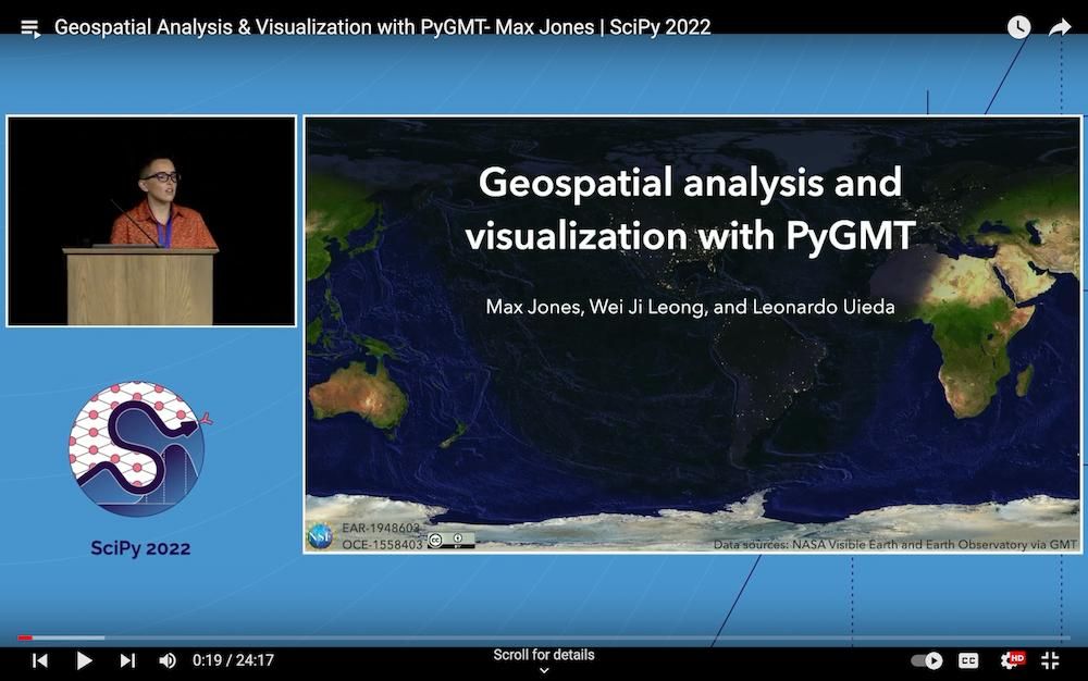
PyGMT is a powerful Python library designed for processing geospatial and geophysical data, enabling users to create high-quality maps and figures for publication. It serves as a Pythonic interface to the Generic Mapping Tools (GMT), a widely-used command-line program in Earth, Ocean, and Planetary sciences.
Key Features
- Accessibility: Simplifies GMT usage for new users with a user-friendly Python API.
- Direct Integration: Interfaces directly with GMT's C API using ctypes, avoiding system calls.
- Rich Display: Supports enhanced visualization within Jupyter notebooks.
- Ecosystem Compatibility: Integrates seamlessly with the scientific Python ecosystem, supporting data structures like
numpy.ndarray,pandas.DataFrame,xarray.DataArray, andgeopandas.GeoDataFrame. - Comprehensive Tutorials and Gallery: Offers extensive documentation, tutorials, and a gallery of examples to help users get started and explore advanced functionalities.
Use Cases
PyGMT is ideal for researchers, scientists, and students in geophysics and related fields who need to visualize complex datasets as maps or figures. It is particularly useful for creating detailed, publication-ready visualizations in academic papers or presentations, and for educational purposes in teaching geospatial data processing.
Unique Selling Points
Unlike traditional GMT command-line usage, PyGMT provides a modern, programmatic approach within Python, making it accessible to a broader audience. Its integration with popular Python libraries ensures it fits into existing workflows, enhancing productivity and collaboration in scientific research.


