QGIS - Spatial without Compromise
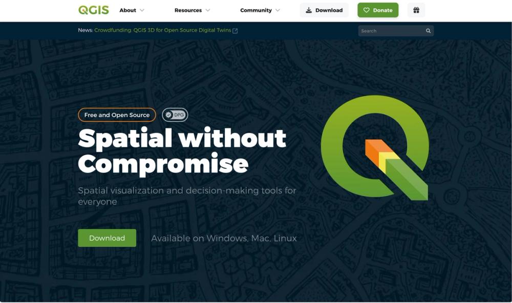
QGIS is a powerful, free, and open-source Geographic Information System (GIS) software that provides comprehensive tools for spatial data visualization, analysis, and decision-making. It is designed for everyone, from individual users to large organizations, and is available on Windows, Mac, and Linux platforms.
Key Features
- Create Maps: Offers exceptional cartographic design tools to craft outstanding maps for desktop, mobile, cloud, and print media, with class-leading cartography and professional map production capabilities.
- Edit Layers: Provides powerful digitizing and construction tools for precise editing of points, lines, polygons, and meshes, including advanced CAD-like tools and customizable forms.
- Process and Analyze: Features state-of-the-art analysis tools, automated workflows, and an extensible environment with third-party plugins for comprehensive data insights.
- Share Maps: Supports industry-leading data formats and standards, enabling users to publish work to the cloud and mobile devices for wider accessibility.
Use Cases
- Environmental Management: Ideal for mapping and analyzing environmental data to support conservation and resource management.
- Urban Planning: Assists in creating detailed maps and reports for urban development and infrastructure planning.
- Research and Education: Widely used in academic settings for teaching GIS concepts and conducting spatial research.
QGIS stands out due to its open-source community model, ensuring continuous development and customization based on user needs, backed by a global network of contributors and sustaining members.


