USGS Earthquake Catalog Search
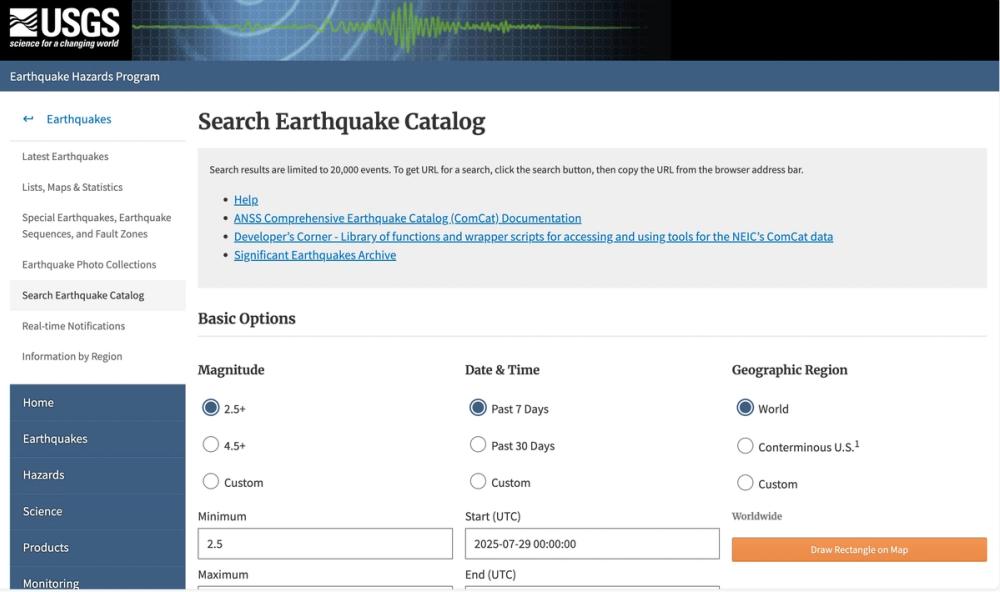
The USGS Earthquake Catalog Search is a comprehensive tool provided by the U.S. Geological Survey (USGS) Earthquake Hazards Program to access detailed earthquake data through the ANSS Comprehensive Earthquake Catalog (ComCat). This platform allows users to search for earthquake events using a variety of filters and parameters, making it an essential resource for researchers, seismologists, and disaster response teams.
Key Features
- Basic Search Options: Filter earthquakes by magnitude, date and time, and geographic location.
- Advanced Search Parameters: Refine searches with criteria such as depth, azimuthal gap, geographic region (rectangular or circular areas), review status, event type, and impact metrics (PAGER, ShakeMap, DYFI).
- Output Customization: Choose from multiple formats like CSV, KML, QuakeML, and GeoJSON, with specific options for each format (e.g., animation in KML, callback in GeoJSON).
- Sorting and Limiting Results: Order results by time or magnitude and limit the number of events returned (up to 20,000).
- Documentation and Support: Access detailed help resources, developer tools on GitHub, and links to significant earthquake archives.
Use Cases
- Research and Analysis: Ideal for seismologists and geophysicists studying earthquake patterns, fault behavior, and seismic hazards.
- Emergency Management: Supports disaster response by providing real-time data on recent earthquakes for impact assessment.
- Education and Public Awareness: Useful for educators and the public to explore historical and recent earthquake data.
This tool stands out for its depth of data, customization options, and integration with other USGS resources, making it a critical asset for understanding and mitigating earthquake risks.


